
Yucatan Map
The oldest Yucatan maps are from the 1700's. This is a detail from a map made by Pieter van der AA in 1706.
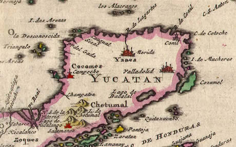
Note how he places Merida in the center of the peninsula, where Chichen Itza should be. Of course at that moment in time nobody cared about the ancient Mayan temples. And Valladolid is almost where Playa del Carmen is today. He also kind of deformed the lower part of the peninsula, but remember that Mr. van der Aa lived in the early 18th century. He have access to Google Earth!
But, I do!
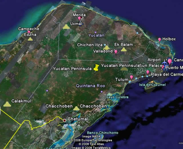
Using Google Earth I made this Yucatan map for you. It shows the urban areas as well as the most important archaeological sites. For now, my map isn't interactive, but if you want, you can go over Google Earth and explore the Yucatan Peninsula. Drop yourself off in Cancun, take a peek at the beaches, visit the Mayan ruins at Tulum and be back at your place for dinner! Almost anything is possible, besides give you a suntan (they're working on that)!
Road Map
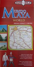
For a good printed Yucatan map I recommend the GuiaRoji series. They have detailed road maps of all Mexican states. I bought mine in a 7-Eleven at the gas station. Or try any Oxxo or supermarket.
Enlarge this map by clicking on the + sign and find your way around the Yucatan Peninsula. You can use the hand sign to move the map and focus on a specific area.
Other Yucatan Maps
- Peninsula
- Cancun
- Resorts
- Riviera Maya
- Clothing Optional
- Haciendas
Where to stay
- ©Beautiful Yucatan Peninsula 2008 - 2009